 vesseltracker.com
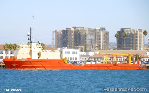
Kellie Chouest
Current StatusWhere is the vessel?
Kellie Chouest is currently in Near Rodman, based on AIS data received about 2h ago.
Latest AIS update:
Current position: 8.95170° N, 79.57299° W (Near Rodman)
Average speed (last 7 days): Loading…
Average speed (last 30 days): Loading…
Vessel profile: Kellie Chouest is a Offshore Support Vessel with dimensions 18m x 100m.
This page combines live AIS, route history, probable destination signals, nearby traffic, and port activity for practical vessel monitoring.
The current position of vessel Kellie Chouest is 8.95170 lat / -79.57299 lng. Updated: 2026-03-26 02:22:34 UTCNearest reference points:
- Near Cocoli
- Near El Chorrillo
- Near Panama
Details:
Live Vessel Kellie Chouest Analytics (details, animations, etc.)
Recent AIS points (UTC):
2026-03-25 19:38:23 UTC · 8.95170, -79.57296 · SOG 0 kn · COG 232°2026-03-25 22:02:33 UTC · 8.95166, -79.57296 · SOG 0 kn · COG 232°
2026-03-25 23:22:23 UTC · 8.95168, -79.57298 · SOG 0 kn · COG 232°
2026-03-26 02:22:34 UTC · 8.95170, -79.57299 · SOG 0 kn · COG 233°