 vesseltracker.com
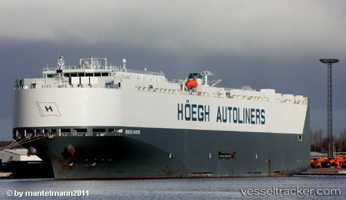
Vessel Alliance Fairfax IMO: 9303546, MMSI: 366771000 Vehicles Carrier
UTC, 24.98813, 55.06818, course: 227, speed: 0
UTC, 24.98811, 55.06819, course: 227, speed: 0
2026-02-18 02:23:34 UTC, 24.98812, 55.06818, course: 227, speed: 0
Live AIS position:
UTC. Near Jebel Ali Free Zone),
updated 2026-02-18 02:23:34 UTC.
Find the position of the vessel Alliance Fairfax on the map. The latter are known coordinates and path.
marine traffic ship tracker show on live map
The current position of vessel Alliance Fairfax is 24.98812 lat / 55.06818 lng. Updated: 2026-02-18 02:23:34 UTCDetails:
Last coordinates of the vessel:
UTC, 24.98813, 55.06819, course: 227, speed: 0UTC, 24.98813, 55.06818, course: 227, speed: 0
UTC, 24.98811, 55.06819, course: 227, speed: 0
2026-02-18 02:23:34 UTC, 24.98812, 55.06818, course: 227, speed: 0