 vesseltracker.com
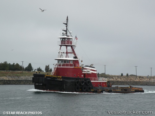
Vessel Christine Mcallister IMO: 7390985, MMSI: 366902260 Tug
UTC, 41.34667, -72.08333, course: -1, speed: 0
UTC, 41.34808, -72.08430, course: 171, speed: 0
2026-01-16 14:42:47 UTC, 41.34667, -72.08333, course: -1, speed: 0
Live AIS position:
UTC. Near Groton),
updated 2026-01-16 14:42:47 UTC.
Find the position of the vessel Christine Mcallister on the map. The latter are known coordinates and path.
marine traffic ship tracker show on live map
The current position of vessel Christine Mcallister is 41.34667 lat / -72.08333 lng. Updated: 2026-01-16 14:42:47 UTCDetails:
Last coordinates of the vessel:
UTC, 41.34667, -72.08333, course: -1, speed: 0UTC, 41.34667, -72.08333, course: -1, speed: 0
UTC, 41.34808, -72.08430, course: 171, speed: 0
2026-01-16 14:42:47 UTC, 41.34667, -72.08333, course: -1, speed: 0