 vesseltracker.com
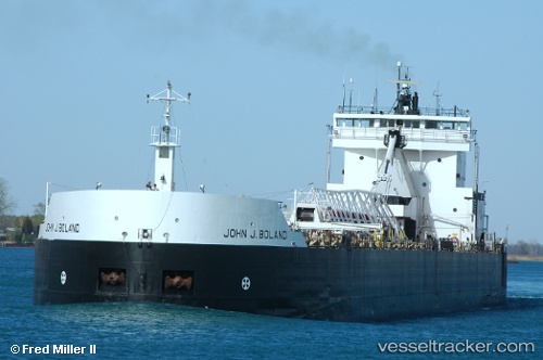
Find the position of the vessel John J Boland on the map. The latter are known coordinates and path.
marine traffic ship tracker show on live map
The current position of vessel John J Boland is 47.93538 lat / -87.59559 lng. Updated: 2025-10-22 14:40:18 UTCCurrently sailing under the flag of USA
John J Boland built in 1973 year
Deadweight:
33438 tDetails:
Last coordinates of the vessel:
UTC, 47.66833, -87.00833, course: -1, speed: 11UTC, 47.75833, -87.18167, course: -1, speed: 11
UTC, 47.79667, -87.26500, course: -1, speed: 11
2025-10-22 14:40:18 UTC, 47.93538, -87.59559, course: 284, speed: 11.6