 vesseltracker.com
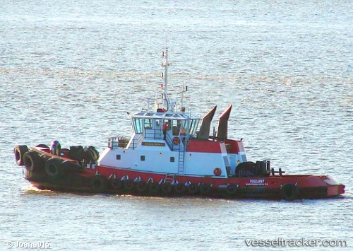
Vessel Pearl Coast IMO: 7806477, MMSI: 366998170 Tug
UTC, 42.02667, -73.93333, course: -1, speed: 7
UTC, 41.87030, -73.93939, course: 173, speed: 8.2
2026-03-02 23:47:29 UTC, 41.60667, -73.95333, course: -1, speed: 7
Live AIS position:
UTC. Near New Hamburg),
updated 2026-03-02 23:47:29 UTC.
Find the position of the vessel Pearl Coast on the map. The latter are known coordinates and path.
marine traffic ship tracker show on live map
The current position of vessel Pearl Coast is 41.60667 lat / -73.95333 lng. Updated: 2026-03-02 23:47:29 UTCCurrently sailing under the flag of USA
Details:
Last coordinates of the vessel:
UTC, 42.31079, -73.78221, course: 174, speed: 2UTC, 42.02667, -73.93333, course: -1, speed: 7
UTC, 41.87030, -73.93939, course: 173, speed: 8.2
2026-03-02 23:47:29 UTC, 41.60667, -73.95333, course: -1, speed: 7