 vesseltracker.com
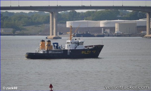
Vessel Pb Newjersey 2 IMO: 8515154, MMSI: 367008110 Pilot Vessel
Live Vessel Pb Newjersey 2 Analytics (details, animations, etc.)
Live AIS position: UTC. Near Tompkinsville), updated 2026-02-23 00:01:41 UTC.Find the position of the vessel Pb Newjersey 2 on the map. The latter are known coordinates and path.
marine traffic ship tracker show on live map
The current position of vessel Pb Newjersey 2 is 40.61785 lat / -74.06459 lng. Updated: 2026-02-23 00:01:41 UTCCurrently sailing under the flag of USA
Pb Newjersey 2 built in 1986 year
Deadweight:
496 tDetails:
Last coordinates of the vessel:
2026-02-23 00:01:41 UTC, 40.61785, -74.06459, course: 225, speed: 0.1