 vesseltracker.com
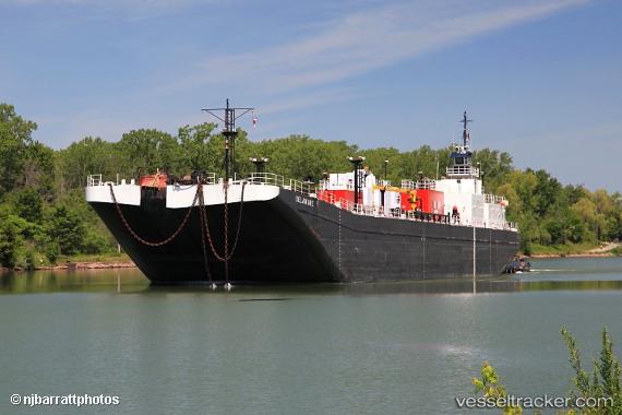
Vessel Calusa Coast IMO: 7942295, MMSI: 367029960 Tug
UTC, 39.97929, -75.08113, course: 282, speed: 0
UTC, 39.97927, -75.08107, course: 292, speed: 0
2026-03-14 15:55:16 UTC, 39.97926, -75.08118, course: 19, speed: 0.1
Live Vessel Calusa Coast Analytics (details, animations, etc.)
Live AIS position: UTC. Near Port Richmond), updated 2026-03-14 15:55:16 UTC.Find the position of the vessel Calusa Coast on the map. The latter are known coordinates and path.
marine traffic ship tracker show on live map
The current position of vessel Calusa Coast is 39.97926 lat / -75.08118 lng. Updated: 2026-03-14 15:55:16 UTCCurrently sailing under the flag of USA
Calusa Coast built in 1978 year
Details:
Last coordinates of the vessel:
UTC, 39.97835, -75.08400, course: 70, speed: 0UTC, 39.97929, -75.08113, course: 282, speed: 0
UTC, 39.97927, -75.08107, course: 292, speed: 0
2026-03-14 15:55:16 UTC, 39.97926, -75.08118, course: 19, speed: 0.1