 vesseltracker.com
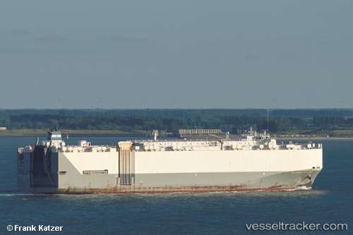
Vessel Alliance St. Louis IMO: 9285500, MMSI: 367093000 Vehicles Carrier
UTC, 29.04216, 48.15515, course: 179, speed: 0
UTC, 29.04217, 48.15515, course: 179, speed: 0
2026-01-28 06:04:08 UTC, 29.04218, 48.15516, course: 179, speed: 0
Live AIS position:
UTC. Near SHUAIBA),
updated 2026-01-28 06:04:08 UTC.
Find the position of the vessel Alliance St. Louis on the map. The latter are known coordinates and path.
marine traffic ship tracker show on live map
The current position of vessel Alliance St. Louis is 29.04218 lat / 48.15516 lng. Updated: 2026-01-28 06:04:08 UTCCurrently sailing under the flag of USA
Alliance St. Louis built in 2005 year
Deadweight:
15880 tDetails:
Last coordinates of the vessel:
UTC, 29.04217, 48.15515, course: 179, speed: 0UTC, 29.04216, 48.15515, course: 179, speed: 0
UTC, 29.04217, 48.15515, course: 179, speed: 0
2026-01-28 06:04:08 UTC, 29.04218, 48.15516, course: 179, speed: 0