 vesseltracker.com
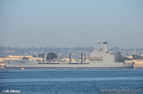
Vessel Us Govt Vessel 202 IMO: 8822454, MMSI: 367218000 Crude Oil Tanker
UTC, 33.09417, 129.70309, course: 306, speed: 0
UTC, 33.09368, 129.70174, course: 11, speed: 0.2
2026-02-02 16:25:15 UTC, 33.09513, 129.70013, course: 83, speed: 0
Live AIS position:
UTC. Near Sasebo),
updated 2026-02-02 16:25:15 UTC.
Find the position of the vessel Us Govt Vessel 202 on the map. The latter are known coordinates and path.
marine traffic ship tracker show on live map
The current position of vessel Us Govt Vessel 202 is 33.09513 lat / 129.70013 lng. Updated: 2026-02-02 16:25:15 UTCCurrently sailing under the flag of USA
Us Govt Vessel 202 built in 1994 year
Deadweight:
27813 tDetails:
Last coordinates of the vessel:
UTC, 33.09418, 129.70317, course: 314, speed: 0.1UTC, 33.09417, 129.70309, course: 306, speed: 0
UTC, 33.09368, 129.70174, course: 11, speed: 0.2
2026-02-02 16:25:15 UTC, 33.09513, 129.70013, course: 83, speed: 0