 vesseltracker.com
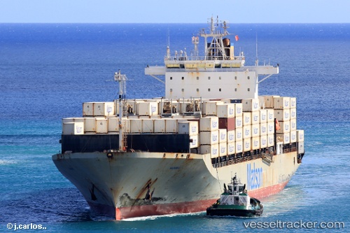
Vessel Maunawili IMO: 9268538, MMSI: 367438000 Container Ship
UTC, 48.17057, -123.27891, course: 245, speed: 20.3
UTC, 48.47214, -124.61589, course: 293, speed: 22.5
2026-02-21 22:30:39 UTC, 48.14074, -125.31450, course: 209, speed: 20
Live AIS position:
UTC. 27 nm SW of Tatoosh Island),
updated 2026-02-21 22:30:39 UTC.
Find the position of the vessel Maunawili on the map. The latter are known coordinates and path.
marine traffic ship tracker show on live map
The current position of vessel Maunawili is 48.14074 lat / -125.31450 lng. Updated: 2026-02-21 22:30:39 UTCDetails:
Last coordinates of the vessel:
UTC, 48.18014, -122.76673, course: 311, speed: 22.4UTC, 48.17057, -123.27891, course: 245, speed: 20.3
UTC, 48.47214, -124.61589, course: 293, speed: 22.5
2026-02-21 22:30:39 UTC, 48.14074, -125.31450, course: 209, speed: 20