 vesseltracker.com
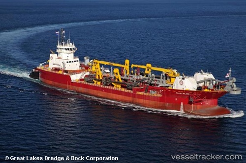
Vessel Douglas B.mackie IMO: 9807073, MMSI: 367493000 Pusher Tug
UTC, 28.83500, -95.25667, course: -1, speed: 2
UTC, 28.91167, -95.28167, course: -1, speed: 0
2026-03-06 20:17:15 UTC, 28.91833, -95.27667, course: -1, speed: 1
Live Vessel Douglas B.mackie Analytics (details, animations, etc.)
Live AIS position: UTC. Near Quintana), updated 2026-03-06 20:17:15 UTC.Find the position of the vessel Douglas B.mackie on the map. The latter are known coordinates and path.
marine traffic ship tracker show on live map
The current position of vessel Douglas B.mackie is 28.91833 lat / -95.27667 lng. Updated: 2026-03-06 20:17:15 UTCCurrently sailing under the flag of USA
Details:
Last coordinates of the vessel:
UTC, 28.90833, -95.26500, course: -1, speed: 2UTC, 28.83500, -95.25667, course: -1, speed: 2
UTC, 28.91167, -95.28167, course: -1, speed: 0
2026-03-06 20:17:15 UTC, 28.91833, -95.27667, course: -1, speed: 1