 vesseltracker.com
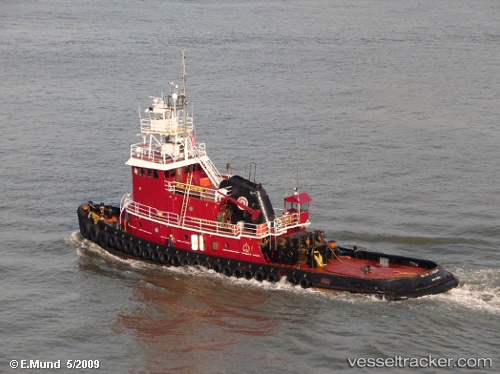
Vessel Evelyn Cutler IMO: 7319058, MMSI: 367634360 Tug
Live Vessel Evelyn Cutler Analytics (details, animations, etc.)
Live AIS position: UTC. Near Maher Terminal), updated 2026-02-17 16:08:51 UTC.Find the position of the vessel Evelyn Cutler on the map. The latter are known coordinates and path.
marine traffic ship tracker show on live map
The current position of vessel Evelyn Cutler is 40.64455 lat / -74.11289 lng. Updated: 2026-02-17 16:08:51 UTCCurrently sailing under the flag of USA
Evelyn Cutler built in 1973 year
Details:
Last coordinates of the vessel:
2026-02-17 16:08:51 UTC, 40.64455, -74.11289, course: 50, speed: 0.2