 vesseltracker.com
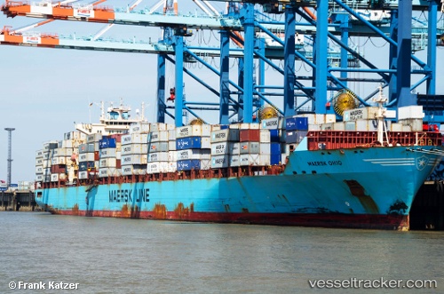
Find the position of the vessel Maersk Ohio on the map. The latter are known coordinates and path.
marine traffic ship tracker show on live map
The current position of vessel Maersk Ohio is 52.05474 lat / 3.38940 lng. Updated: 2025-10-15 19:47:39 UTCCurrently sailing under the flag of USA
Maersk Ohio built in 2006 year
Deadweight:
61454 tDetails:
Last coordinates of the vessel:
UTC, 51.50093, 3.06641, course: 42, speed: 18.7UTC, 51.69684, 3.21873, course: 20, speed: 9.4
UTC, 51.89335, 3.35124, course: 9, speed: 12.6
2025-10-15 19:47:39 UTC, 52.05474, 3.38940, course: 10, speed: 13