 vesseltracker.com
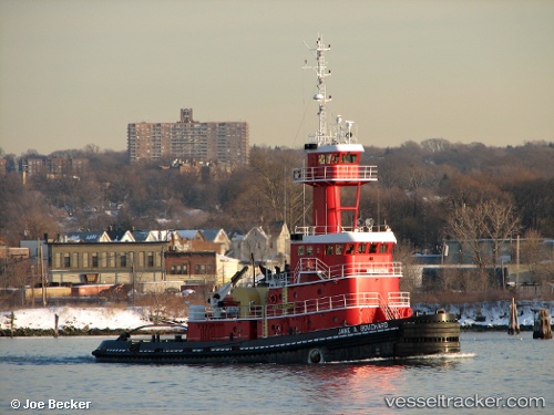
Vessel ANNA ROSE IMO: 9269702, MMSI: 368248960 Articulated Pusher Tug
UTC, 24.80667, -84.53500, course: -1, speed: 7
UTC, 24.96167, -84.92167, course: -1, speed: 7
2026-03-04 13:49:01 UTC, 25.04333, -85.09167, course: -1, speed: 7
Live Vessel ANNA ROSE Analytics (details, animations, etc.)
Live AIS position: UTC. 120 nm W of Florida Straits), updated 2026-03-04 13:49:01 UTC.Find the position of the vessel ANNA ROSE on the map. The latter are known coordinates and path.
marine traffic ship tracker show on live map
The current position of vessel ANNA ROSE is 25.04333 lat / -85.09167 lng. Updated: 2026-03-04 13:49:01 UTCCurrently sailing under the flag of United States
Details:
Last coordinates of the vessel:
UTC, 24.75167, -84.39333, course: -1, speed: 7UTC, 24.80667, -84.53500, course: -1, speed: 7
UTC, 24.96167, -84.92167, course: -1, speed: 7
2026-03-04 13:49:01 UTC, 25.04333, -85.09167, course: -1, speed: 7