 vesseltracker.com
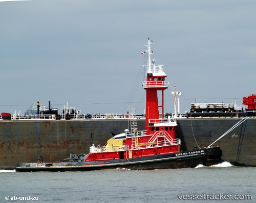
Vessel TURQUOISE COAST IMO: 9053141, MMSI: 368287020 Tug
UTC, 29.91713, -93.88732, course: 42, speed: 0
UTC, 29.91713, -93.88733, course: 42, speed: 0.1
2026-02-24 23:30:36 UTC, 29.91710, -93.88732, course: 43, speed: 0
Live AIS position:
UTC. Near Groves),
updated 2026-02-24 23:30:36 UTC.
Find the position of the vessel TURQUOISE COAST on the map. The latter are known coordinates and path.
marine traffic ship tracker show on live map
The current position of vessel TURQUOISE COAST is 29.91710 lat / -93.88732 lng. Updated: 2026-02-24 23:30:36 UTCCurrently sailing under the flag of United States
Details:
Last coordinates of the vessel:
UTC, 29.91667, -93.88667, course: -1, speed: 0UTC, 29.91713, -93.88732, course: 42, speed: 0
UTC, 29.91713, -93.88733, course: 42, speed: 0.1
2026-02-24 23:30:36 UTC, 29.91710, -93.88732, course: 43, speed: 0