 vesseltracker.com
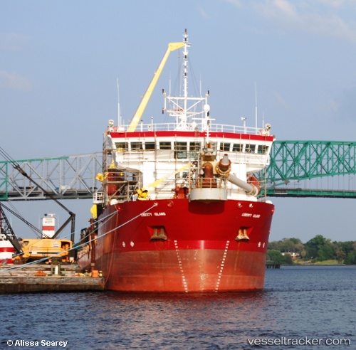
Liberty Island
Current StatusWhere is the vessel?
Liberty Island is currently in Near Cape Henry, based on AIS data received about 1h ago.
Latest AIS update:
Current position: 36.99762° N, 76.01995° W (Near Cape Henry)
Average speed (last 7 days): Loading…
Average speed (last 30 days): Loading…
Vessel profile: Liberty Island is a Hopper Dredger with dimensions 18m x 99m.
This page combines live AIS, route history, probable destination signals, nearby traffic, and port activity for practical vessel monitoring.
The current position of vessel Liberty Island is 36.99762 lat / -76.01995 lng. Updated: 2026-03-25 07:55:46 UTCNearest reference points:
- Near Little Creek
- Near Sewell's Point
- Near Hampton Roads Pt
Details:
Live Vessel Liberty Island Analytics (details, animations, etc.)
Recent AIS points (UTC):
2026-03-25 01:51:35 UTC · 37.01158, -76.03755 · SOG 1.5 kn · COG 133°2026-03-25 04:17:55 UTC · 36.88093, -75.92320 · SOG 8.9 kn · COG 146°
2026-03-25 06:25:14 UTC · 37.01211, -76.04851 · SOG 6.5 kn · COG 329°
2026-03-25 07:55:46 UTC · 36.99762, -76.01995 · SOG 1.6 kn · COG 134°