 vesseltracker.com
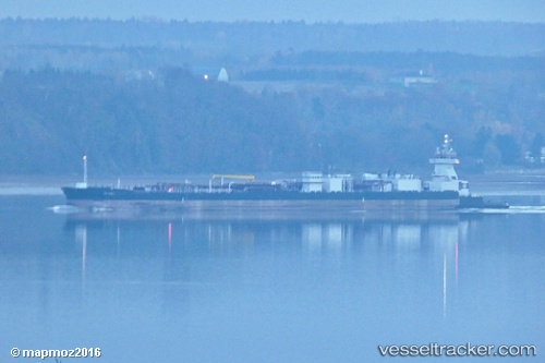
Vessel Sea Power IMO: 9762352, MMSI: 369526000 Tug
UTC, 30.04157, -94.02918, course: 197, speed: 0
UTC, 30.04158, -94.02917, course: 197, speed: 0
2026-02-20 09:30:10 UTC, 30.04156, -94.02917, course: 197, speed: 0
Live AIS position:
UTC. Near Dowling),
updated 2026-02-20 09:30:10 UTC.
Find the position of the vessel Sea Power on the map. The latter are known coordinates and path.
marine traffic ship tracker show on live map
The current position of vessel Sea Power is 30.04156 lat / -94.02917 lng. Updated: 2026-02-20 09:30:10 UTCCurrently sailing under the flag of USA
Details:
Last coordinates of the vessel:
UTC, 30.04157, -94.02916, course: 197, speed: 0.1UTC, 30.04157, -94.02918, course: 197, speed: 0
UTC, 30.04158, -94.02917, course: 197, speed: 0
2026-02-20 09:30:10 UTC, 30.04156, -94.02917, course: 197, speed: 0