 vesseltracker.com
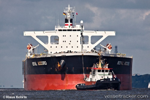
Vessel Royal Accord IMO: 9393187, MMSI: 370064000 Bulk Carrier
UTC, 10.49713, -14.75576, course: 345, speed: 0
UTC, 10.49718, -14.75644, course: -1, speed: 0
2026-02-28 01:23:35 UTC, 10.50160, -14.75422, course: -1, speed: 0.1
Live AIS position:
UTC. Near Port de Boké),
updated 2026-02-28 01:23:35 UTC.
Find the position of the vessel Royal Accord on the map. The latter are known coordinates and path.
marine traffic ship tracker show on live map
The current position of vessel Royal Accord is 10.50160 lat / -14.75422 lng. Updated: 2026-02-28 01:23:35 UTCDetails:
Last coordinates of the vessel:
UTC, 10.49811, -14.75515, course: 323, speed: 0.1UTC, 10.49713, -14.75576, course: 345, speed: 0
UTC, 10.49718, -14.75644, course: -1, speed: 0
2026-02-28 01:23:35 UTC, 10.50160, -14.75422, course: -1, speed: 0.1