 vesseltracker.com
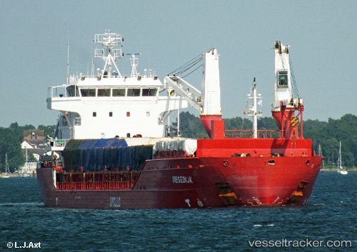
Find the position of the vessel DENIZ AKAY on the map. The latter are known coordinates and path.
marine traffic ship tracker show on live map
The current position of vessel DENIZ AKAY is 40.8647 lat / 29.1834 lng. Updated: 2025-02-21 08:50:45 UTCCurrently sailing under the flag of Panama
DENIZ AKAY built in 2010 year
Port of registry:
Groningen (capital city of the province of Groningen, the Netherlands)Deadweight:
10500 tPayload_mass:
9640.19 tonneGross tonnage:
6668Service entry:
2010-01-01T00:00:00ZDetails:
Last coordinates of the vessel:
UTC, 40.8649, 29.1845, course: 342, speed: 0UTC, 40.8647, 29.1845, course: 346, speed: 0
UTC, 40.8652, 29.1857, course: 314, speed: 0
2025-02-21 08:50:45 UTC, 40.8647, 29.1834, course: 21, speed: 0.1