 vesseltracker.com
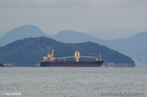
Vessel Tamaki Princess IMO: 9522831, MMSI: 370385000 General Cargo Ship
UTC, 22.87032, 113.57220, course: 8, speed: 0
UTC, 22.87038, 113.57222, course: 8, speed: 0
2026-01-26 03:57:16 UTC, 22.87035, 113.57215, course: 8, speed: 0
Live AIS position:
UTC. Near Guangzhou),
updated 2026-01-26 03:57:16 UTC.
Find the position of the vessel Tamaki Princess on the map. The latter are known coordinates and path.
marine traffic ship tracker show on live map
The current position of vessel Tamaki Princess is 22.87035 lat / 113.57215 lng. Updated: 2026-01-26 03:57:16 UTCCurrently sailing under the flag of Panama
Tamaki Princess built in 2009 year
Deadweight:
10024 tDetails:
Last coordinates of the vessel:
UTC, 22.87032, 113.57223, course: 8, speed: 0UTC, 22.87032, 113.57220, course: 8, speed: 0
UTC, 22.87038, 113.57222, course: 8, speed: 0
2026-01-26 03:57:16 UTC, 22.87035, 113.57215, course: 8, speed: 0