 vesseltracker.com
Find the position of the vessel ALLIANCE on the map. The latter are known coordinates and path.
marine traffic ship tracker show on live map
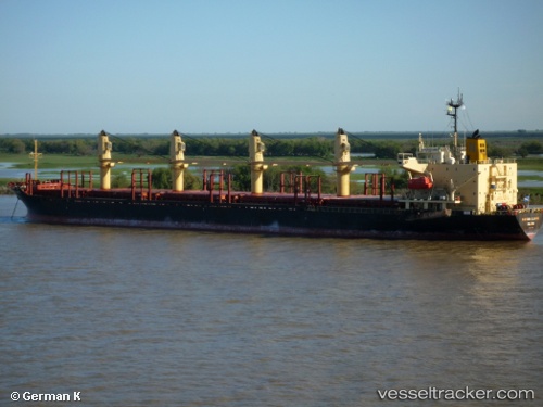
The current position of vessel ALLIANCE is 36.78124 lat / 36.19185 lng. Updated: 2025-10-22 09:44:58 UTCCurrently sailing under the flag of Panama
ALLIANCE built in 1995 year
Deadweight:
28460 tDetails:
Last coordinates of the vessel:
UTC, 36.78125, 36.19179, course: 256, speed: 0UTC, 36.78124, 36.19181, course: 256, speed: 0
UTC, 36.78123, 36.19186, course: 256, speed: 0
2025-10-22 09:44:58 UTC, 36.78124, 36.19185, course: 256, speed: 0