 vesseltracker.com
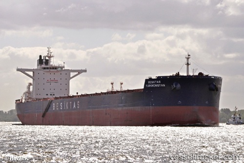
Vessel Sunny Sky IMO: 9461295, MMSI: 370624000 Bulk Carrier
UTC, 37.58331, 121.38722, course: 270, speed: 0
UTC, 37.58328, 121.38720, course: 270, speed: 0.1
2026-02-03 10:13:28 UTC, 37.58328, 121.38721, course: 270, speed: 0.1
Live AIS position:
UTC. Near Yantai),
updated 2026-02-03 10:13:28 UTC.
Find the position of the vessel Sunny Sky on the map. The latter are known coordinates and path.
marine traffic ship tracker show on live map
The current position of vessel Sunny Sky is 37.58328 lat / 121.38721 lng. Updated: 2026-02-03 10:13:28 UTCCurrently sailing under the flag of Panama
Sunny Sky built in 2011 year
Deadweight:
179797 tDetails:
Last coordinates of the vessel:
UTC, 37.58331, 121.38718, course: 270, speed: 0UTC, 37.58331, 121.38722, course: 270, speed: 0
UTC, 37.58328, 121.38720, course: 270, speed: 0.1
2026-02-03 10:13:28 UTC, 37.58328, 121.38721, course: 270, speed: 0.1