 vesseltracker.com
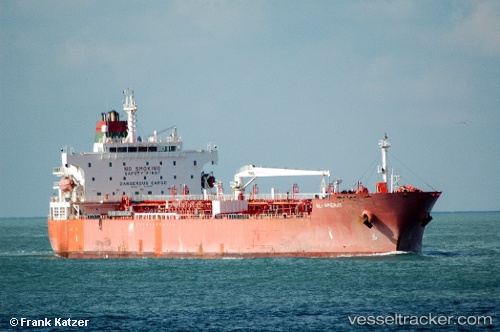
Vessel Al Amerat IMO: 9405851, MMSI: 370706000 Chemical Oil Products Tanker
UTC, 12.76333, 113.78667, course: -1, speed: 12
UTC, 13.11167, 114.08500, course: -1, speed: 11
2026-02-07 10:21:31 UTC, 13.11167, 114.08500, course: -1, speed: 11
Live AIS position:
UTC. 251 nm E of Tan Cang Qui Nhon),
updated 2026-02-07 10:21:31 UTC.
Find the position of the vessel Al Amerat on the map. The latter are known coordinates and path.
marine traffic ship tracker show on live map
The current position of vessel Al Amerat is 13.11167 lat / 114.08500 lng. Updated: 2026-02-07 10:21:31 UTCDetails:
Last coordinates of the vessel:
UTC, 12.76333, 113.78667, course: -1, speed: 12UTC, 12.76333, 113.78667, course: -1, speed: 12
UTC, 13.11167, 114.08500, course: -1, speed: 11
2026-02-07 10:21:31 UTC, 13.11167, 114.08500, course: -1, speed: 11