 vesseltracker.com
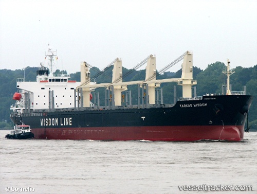
Vessel Taokas Wisdom IMO: 9338577, MMSI: 371050000 Bulk Carrier
UTC, -34.71764, 135.87010, course: 5, speed: 0
UTC, -34.71767, 135.87016, course: 5, speed: 0
2026-03-03 19:24:18 UTC, -34.71767, 135.87009, course: 5, speed: 0
Live AIS position:
UTC. Near Port Lincoln),
updated 2026-03-03 19:24:18 UTC.
Find the position of the vessel Taokas Wisdom on the map. The latter are known coordinates and path.
marine traffic ship tracker show on live map
The current position of vessel Taokas Wisdom is -34.71767 lat / 135.87009 lng. Updated: 2026-03-03 19:24:18 UTCDetails:
Last coordinates of the vessel:
UTC, -34.71766, 135.87012, course: 5, speed: 0UTC, -34.71764, 135.87010, course: 5, speed: 0
UTC, -34.71767, 135.87016, course: 5, speed: 0
2026-03-03 19:24:18 UTC, -34.71767, 135.87009, course: 5, speed: 0