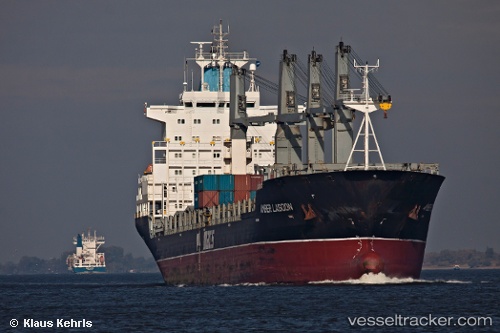
vessel EL TETHYS IMO: 9138123,
Vessel EL TETHYS IMO: 9138123,
MMSI: 371426000 callsign: size: x

Find the position of the vessel EL TETHYS on the map. The latter are known coordinates and path.

marine traffic ship tracker show on live map

The current position of vessel EL TETHYS is 2.20968 lat / 104.943 lng. Updated: 2024-04-25 11:39:14 UTC
Port of registry:
South Tarawa (capital of Kiribati)
Speed:
14 knot
Payload_mass:
31916 tonne
Gross tonnage:
23401
Beam:
26.7 metre
Service entry:
1997-01-01T00:00:00Z
Details:


Last coordinates of the vessel:
UTC, 3.08361, 105.302, course: 210, speed: 13.3
UTC, 2.50341, 105.051, course: 197, speed: 13.2
UTC, 2.395, 105.017, course: -1, speed: 13
2024-04-25 11:39:14 UTC, 2.20968, 104.943, course: 204, speed: 12.8

Track of the vessel in the last 14 days


Most frequent ports a vessels calls at EL TETHYS (371426000):

Sambu, traffic: 5
Wu-Sung, traffic: 4
Wusong, traffic: 4
Ad Dammam, traffic: 3
Karachi, traffic: 3
Singapore, traffic: 2
Weihaiwei, traffic: 2
New Mangalore, traffic: 1
Ras Tannurah, traffic: 1

Link to the map:


Find another ship

EL_TETHYS (371426000) last ports (portcalls and passsages)

Ad Dammam | 2022-09-06 01:16:40
Ad Dammam | 2022-09-01 23:22:08
Ad Dammam | 2022-08-28 23:04:54
Ras Tannurah | 2022-08-28 22:37:49
New Mangalore | 2022-07-27 01:28:29
Sambu | 2022-07-19 07:40:13
Karachi | 2022-04-03 09:47:08
Wusong | 2022-03-08 09:06:04
Karachi | 2022-01-07 10:50:15
Singapore | 2021-12-28 15:25:59
Sambu | 2021-12-28 15:15:49
Wu-Sung | 2021-12-21 16:10:02
Weihaiwei | 2021-12-03 13:15:22