 vesseltracker.com
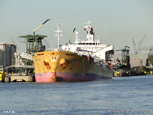
Vessel Ami IMO: 9360934, MMSI: 371433000 Chemical Oil Products Tanker
UTC, 3.25890, 113.07552, course: 272, speed: 0
UTC, 3.25897, 113.07568, course: 272, speed: 0
2026-01-24 01:32:17 UTC, 3.25897, 113.07557, course: 272, speed: 0
Live AIS position:
UTC. Near BINTULU),
updated 2026-01-24 01:32:17 UTC.
Find the position of the vessel Ami on the map. The latter are known coordinates and path.
marine traffic ship tracker show on live map
The current position of vessel Ami is 3.25897 lat / 113.07557 lng. Updated: 2026-01-24 01:32:17 UTCDetails:
Last coordinates of the vessel:
UTC, 3.25890, 113.07565, course: 272, speed: 0UTC, 3.25890, 113.07552, course: 272, speed: 0
UTC, 3.25897, 113.07568, course: 272, speed: 0
2026-01-24 01:32:17 UTC, 3.25897, 113.07557, course: 272, speed: 0