 vesseltracker.com
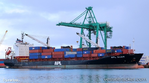
Vessel A Houou IMO: 9229609, MMSI: 371793000 Container Ship
UTC, 19.67675, 116.34056, course: 143, speed: 10.7
UTC, 19.67675, 116.34056, course: 143, speed: 10.7
2026-01-28 20:20:57 UTC, 18.91050, 116.91234, course: 146, speed: 11.3
Live AIS position:
UTC. 183 nm SE of Xijiang),
updated 2026-01-28 20:20:57 UTC.
Find the position of the vessel A Houou on the map. The latter are known coordinates and path.
marine traffic ship tracker show on live map
The current position of vessel A Houou is 18.91050 lat / 116.91234 lng. Updated: 2026-01-28 20:20:57 UTCCurrently sailing under the flag of Panama
Details:
Last coordinates of the vessel:
UTC, 19.83564, 116.22366, course: 141, speed: 10.9UTC, 19.67675, 116.34056, course: 143, speed: 10.7
UTC, 19.67675, 116.34056, course: 143, speed: 10.7
2026-01-28 20:20:57 UTC, 18.91050, 116.91234, course: 146, speed: 11.3