 vesseltracker.com
Find the position of the vessel Durban Highway on the map. The latter are known coordinates and path.
marine traffic ship tracker show on live map
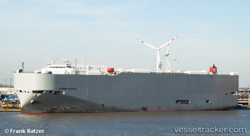
The current position of vessel Durban Highway is 45.5975 lat / -122.775 lng. Updated: 2024-05-01 12:26:04 UTCCurrently sailing under the flag of Panama
Durban Highway built in 2011 year
Deadweight:
18906 tPayload_mass:
18906 tonneGross tonnage:
58997Service entry:
2011-01-01T00:00:00ZManufacturer:
Shinkurushima Toyohashi ShipbuildingDetails:
Last coordinates of the vessel:
UTC, 45.6717, -122.772, course: 160, speed: 11.3UTC, 45.5976, -122.775, course: 330, speed: 0
UTC, 45.5975, -122.775, course: 330, speed: 0
2024-05-01 12:26:04 UTC, 45.5975, -122.775, course: 330, speed: 0