 vesseltracker.com
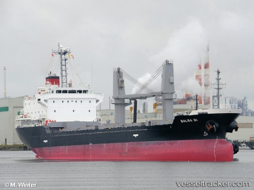
Vessel Balsa 91 IMO: 9616058, MMSI: 371895000 General Cargo Ship
UTC, 17.38439, -73.21321, course: 266, speed: 11.7
UTC, 17.39642, -73.35068, course: 265, speed: 11.9
2026-01-16 23:19:43 UTC, 17.41107, -73.49927, course: 271, speed: 11.8
Live AIS position:
UTC. 48 nm S of Les Cayes),
updated 2026-01-16 23:19:43 UTC.
Find the position of the vessel Balsa 91 on the map. The latter are known coordinates and path.
marine traffic ship tracker show on live map
The current position of vessel Balsa 91 is 17.41107 lat / -73.49927 lng. Updated: 2026-01-16 23:19:43 UTCDetails:
Last coordinates of the vessel:
UTC, 17.36655, -73.00636, course: 268, speed: 11.8UTC, 17.38439, -73.21321, course: 266, speed: 11.7
UTC, 17.39642, -73.35068, course: 265, speed: 11.9
2026-01-16 23:19:43 UTC, 17.41107, -73.49927, course: 271, speed: 11.8