 vesseltracker.com
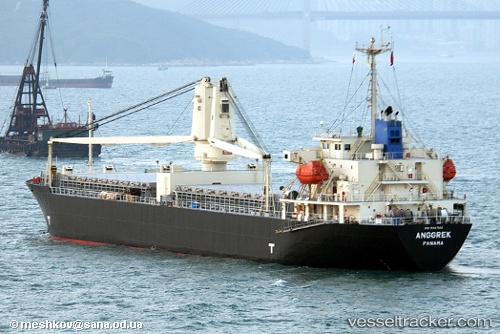
Vessel Hosei 68 IMO: 9347126, MMSI: 371960000 Multi Purpose Carrier
UTC, 34.69333, 135.25500, course: -1, speed: 0
UTC, 34.69450, 135.25504, course: 65, speed: 0
2026-03-24 05:30:20 UTC, 34.62662, 135.26945, course: 209, speed: 3.6
Live Vessel Hosei 68 Analytics (details, animations, etc.)
Live AIS position: UTC. Near Kobe), updated 2026-03-24 05:30:20 UTC.Find the position of the vessel Hosei 68 on the map. The latter are known coordinates and path.
marine traffic ship tracker show on live map
The current position of vessel Hosei 68 is 34.62662 lat / 135.26945 lng. Updated: 2026-03-24 05:30:20 UTCCurrently sailing under the flag of Panama
Hosei 68 built in 2006 year
Deadweight:
12912 tDetails:
Last coordinates of the vessel:
UTC, 34.69450, 135.25505, course: 65, speed: 0UTC, 34.69333, 135.25500, course: -1, speed: 0
UTC, 34.69450, 135.25504, course: 65, speed: 0
2026-03-24 05:30:20 UTC, 34.62662, 135.26945, course: 209, speed: 3.6