 vesseltracker.com
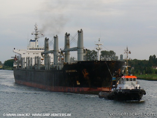
Vessel PETRA STAR IMO: 9101637, MMSI: 372108000 Bulk Carrier
UTC, 42.25542, 33.37702, course: 37, speed: 9.7
UTC, 42.40628, 33.59140, course: 35, speed: 8.9
2026-01-17 00:15:51 UTC, 42.40628, 33.59140, course: 35, speed: 8.9
Live AIS position:
UTC. 27 nm N of INEBOLU),
updated 2026-01-17 00:15:51 UTC.
Find the position of the vessel PETRA STAR on the map. The latter are known coordinates and path.
marine traffic ship tracker show on live map
The current position of vessel PETRA STAR is 42.40628 lat / 33.59140 lng. Updated: 2026-01-17 00:15:51 UTCCurrently sailing under the flag of Panama
PETRA STAR built in 1995 year
Deadweight:
43683 tDetails:
Last coordinates of the vessel:
UTC, 42.17650, 33.19187, course: 70, speed: 11UTC, 42.25542, 33.37702, course: 37, speed: 9.7
UTC, 42.40628, 33.59140, course: 35, speed: 8.9
2026-01-17 00:15:51 UTC, 42.40628, 33.59140, course: 35, speed: 8.9