 vesseltracker.com
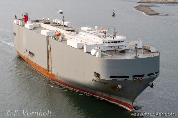
Vessel London Highway IMO: 9362267, MMSI: 372148000 Vehicles Carrier
UTC, 7.27165, -83.03493, course: 284, speed: 16.6
UTC, 7.44078, -83.57964, course: 284, speed: 17.1
2026-01-14 16:50:48 UTC, 7.45733, -83.64796, course: 285, speed: 17
Live AIS position:
UTC. 59 nm SW of Baco),
updated 2026-01-14 16:50:48 UTC.
Find the position of the vessel London Highway on the map. The latter are known coordinates and path.
marine traffic ship tracker show on live map
The current position of vessel London Highway is 7.45733 lat / -83.64796 lng. Updated: 2026-01-14 16:50:48 UTCDetails:
Last coordinates of the vessel:
UTC, 7.16316, -82.61436, course: 286, speed: 16.2UTC, 7.27165, -83.03493, course: 284, speed: 16.6
UTC, 7.44078, -83.57964, course: 284, speed: 17.1
2026-01-14 16:50:48 UTC, 7.45733, -83.64796, course: 285, speed: 17