 vesseltracker.com
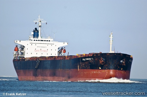
Vessel Xing Bao IMO: 9142978, MMSI: 372166000 Bulk Carrier
UTC, 22.16537, 114.11502, course: 78, speed: 0
UTC, 22.16580, 114.11497, course: 95, speed: 0
2026-02-12 08:28:02 UTC, 21.91668, 114.12150, course: 138, speed: 11.7
Live AIS position:
UTC. 12 nm SE of WAILINGDING ISLAND),
updated 2026-02-12 08:28:02 UTC.
Find the position of the vessel Xing Bao on the map. The latter are known coordinates and path.
marine traffic ship tracker show on live map
The current position of vessel Xing Bao is 21.91668 lat / 114.12150 lng. Updated: 2026-02-12 08:28:02 UTCDetails:
Last coordinates of the vessel:
UTC, 22.16545, 114.11512, course: 93, speed: 0.2UTC, 22.16537, 114.11502, course: 78, speed: 0
UTC, 22.16580, 114.11497, course: 95, speed: 0
2026-02-12 08:28:02 UTC, 21.91668, 114.12150, course: 138, speed: 11.7