 vesseltracker.com
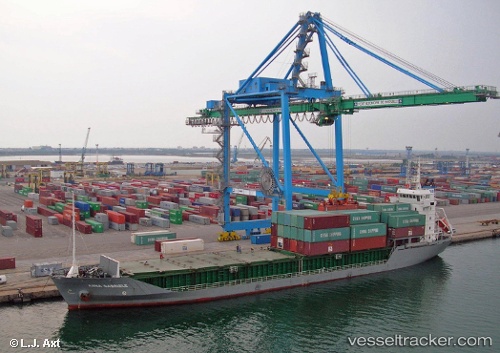
Vessel HACI SEMSETTIN DUNDAR IMO: 9045699, MMSI: 372174000 General Cargo Ship
UTC, 44.00883, 37.49277, course: -1, speed: 10.3
UTC, 43.66406, 37.44047, course: -1, speed: 8.8
2026-03-04 18:25:12 UTC, 43.76399, 37.48793, course: -1, speed: 9.3
Live Vessel HACI SEMSETTIN DUNDAR Analytics (details, animations, etc.)
Live AIS position: UTC. 54 nm SW of GELENDZHIK), updated 2026-03-04 18:25:12 UTC.Find the position of the vessel HACI SEMSETTIN DUNDAR on the map. The latter are known coordinates and path.
marine traffic ship tracker show on live map
The current position of vessel HACI SEMSETTIN DUNDAR is 43.76399 lat / 37.48793 lng. Updated: 2026-03-04 18:25:12 UTCCurrently sailing under the flag of Panama
HACI SEMSETTIN DUNDAR built in 2000 year
Deadweight:
7245 tDetails:
Last coordinates of the vessel:
UTC, 44.00883, 37.49277, course: -1, speed: 10.3UTC, 44.00883, 37.49277, course: -1, speed: 10.3
UTC, 43.66406, 37.44047, course: -1, speed: 8.8
2026-03-04 18:25:12 UTC, 43.76399, 37.48793, course: -1, speed: 9.3