 vesseltracker.com
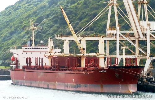
Vessel SINOWAY LILY IMO: 9220471, MMSI: 372245000 Bulk Carrier
UTC, 38.94758, 118.06697, course: 141, speed: 0
UTC, 38.94586, 118.07095, course: 284, speed: 0
2026-03-05 21:32:00 UTC, 38.94521, 118.07039, course: 317, speed: 0
Live Vessel SINOWAY LILY Analytics (details, animations, etc.)
Live AIS position: UTC. Near Taku Bar), updated 2026-03-05 21:32:00 UTC.Find the position of the vessel SINOWAY LILY on the map. The latter are known coordinates and path.
marine traffic ship tracker show on live map
The current position of vessel SINOWAY LILY is 38.94521 lat / 118.07039 lng. Updated: 2026-03-05 21:32:00 UTCCurrently sailing under the flag of Panama
SINOWAY LILY built in 2001 year
Deadweight:
46513 tDetails:
Last coordinates of the vessel:
UTC, 38.94753, 118.06681, course: 134, speed: 0UTC, 38.94758, 118.06697, course: 141, speed: 0
UTC, 38.94586, 118.07095, course: 284, speed: 0
2026-03-05 21:32:00 UTC, 38.94521, 118.07039, course: 317, speed: 0