 vesseltracker.com
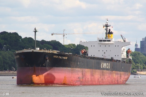
Vessel Lucky Loong IMO: 9287168, MMSI: 372342000 Bulk Carrier
UTC, 37.83500, 130.86333, course: -1, speed: 10
UTC, 37.83500, 130.86333, course: -1, speed: 10
2026-01-16 23:07:34 UTC, 37.87500, 130.88167, course: -1, speed: 10
Live AIS position:
UTC. 24 nm N of Ulleung-gun),
updated 2026-01-16 23:07:34 UTC.
Find the position of the vessel Lucky Loong on the map. The latter are known coordinates and path.
marine traffic ship tracker show on live map
The current position of vessel Lucky Loong is 37.87500 lat / 130.88167 lng. Updated: 2026-01-16 23:07:34 UTCDetails:
Last coordinates of the vessel:
UTC, 37.68333, 130.78168, course: -1, speed: 10UTC, 37.83500, 130.86333, course: -1, speed: 10
UTC, 37.83500, 130.86333, course: -1, speed: 10
2026-01-16 23:07:34 UTC, 37.87500, 130.88167, course: -1, speed: 10