 vesseltracker.com
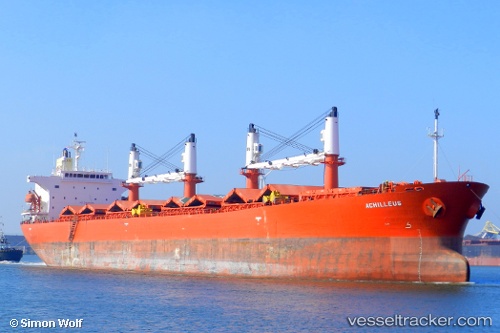
Vessel RED SEA FOS IMO: 9228021, MMSI: 372468000
UTC, 38.98667, 117.74675, course: 292, speed: 0
UTC, 38.95892, 117.86042, course: 97, speed: 11.1
2026-01-28 22:17:31 UTC, 38.86558, 118.18787, course: 119, speed: 9.4
Live AIS position:
UTC. Near Taku Bar),
updated 2026-01-28 22:17:31 UTC.
Find the position of the vessel RED SEA FOS on the map. The latter are known coordinates and path.
marine traffic ship tracker show on live map
The current position of vessel RED SEA FOS is 38.86558 lat / 118.18787 lng. Updated: 2026-01-28 22:17:31 UTCDetails:
Last coordinates of the vessel:
UTC, 38.98676, 117.74667, course: 292, speed: 0UTC, 38.98667, 117.74675, course: 292, speed: 0
UTC, 38.95892, 117.86042, course: 97, speed: 11.1
2026-01-28 22:17:31 UTC, 38.86558, 118.18787, course: 119, speed: 9.4