 vesseltracker.com
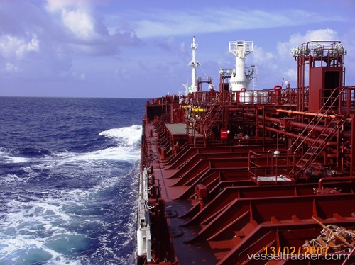
Vessel MASIRAH IMO: 9411563, MMSI: 372577000 Oil/Chemical Tanker
UTC, 44.37167, 8.88667, course: -1, speed: 0
UTC, 44.37148, 8.88685, course: 118, speed: 0
2026-02-21 22:23:25 UTC, 44.37162, 8.88685, course: 122, speed: 0.2
Live AIS position:
UTC. Near Genova),
updated 2026-02-21 22:23:25 UTC.
Find the position of the vessel MASIRAH on the map. The latter are known coordinates and path.
marine traffic ship tracker show on live map
The current position of vessel MASIRAH is 44.37162 lat / 8.88685 lng. Updated: 2026-02-21 22:23:25 UTCCurrently sailing under the flag of Panama
MASIRAH built in 2007 year
Deadweight:
12885 tDetails:
Last coordinates of the vessel:
UTC, 44.37177, 8.88678, course: 155, speed: 0UTC, 44.37167, 8.88667, course: -1, speed: 0
UTC, 44.37148, 8.88685, course: 118, speed: 0
2026-02-21 22:23:25 UTC, 44.37162, 8.88685, course: 122, speed: 0.2