 vesseltracker.com
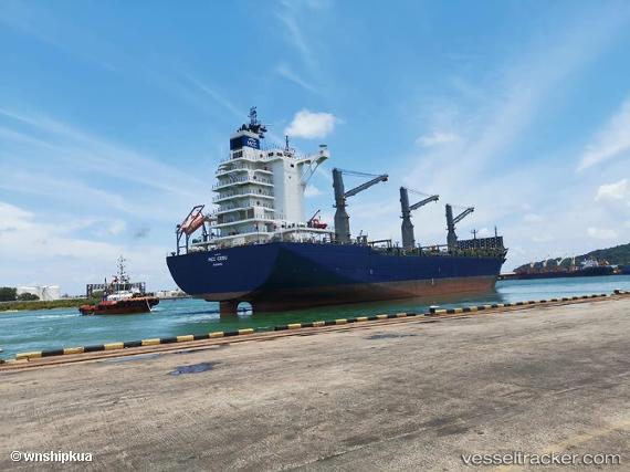
Vessel Mcc Cebu IMO: 9823730, MMSI: 372932000 Container Ship
UTC, 4.90038, 99.82484, course: 324, speed: 17.7
UTC, 5.41840, 99.45644, course: 329, speed: 17.9
2026-01-16 22:34:20 UTC, 5.45680, 99.43296, course: 329, speed: 17.9
Live AIS position:
UTC. 48 nm W of Balik Pulau),
updated 2026-01-16 22:34:20 UTC.
Find the position of the vessel Mcc Cebu on the map. The latter are known coordinates and path.
marine traffic ship tracker show on live map
The current position of vessel Mcc Cebu is 5.45680 lat / 99.43296 lng. Updated: 2026-01-16 22:34:20 UTCDetails:
Last coordinates of the vessel:
UTC, 4.33727, 100.17600, course: 323, speed: 16.4UTC, 4.90038, 99.82484, course: 324, speed: 17.7
UTC, 5.41840, 99.45644, course: 329, speed: 17.9
2026-01-16 22:34:20 UTC, 5.45680, 99.43296, course: 329, speed: 17.9