 vesseltracker.com
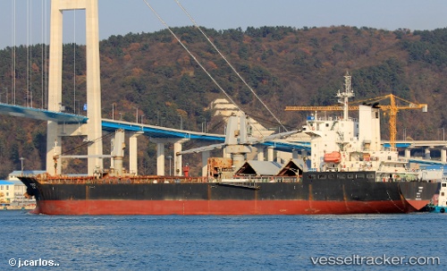
Vessel Navi Sunny IMO: 9530333, MMSI: 373001000 General Cargo Ship
UTC, 28.02533, 122.82048, course: 220, speed: 12.1
UTC, 27.64848, 122.45325, course: 223, speed: 11.9
2026-01-17 10:07:12 UTC, 27.44676, 122.29433, course: 210, speed: 11.3
Live AIS position:
UTC. 61 nm S of Wenling Longmen Port),
updated 2026-01-17 10:07:12 UTC.
Find the position of the vessel Navi Sunny on the map. The latter are known coordinates and path.
marine traffic ship tracker show on live map
The current position of vessel Navi Sunny is 27.44676 lat / 122.29433 lng. Updated: 2026-01-17 10:07:12 UTCDetails:
Last coordinates of the vessel:
UTC, 28.14501, 122.92670, course: 221, speed: 11.9UTC, 28.02533, 122.82048, course: 220, speed: 12.1
UTC, 27.64848, 122.45325, course: 223, speed: 11.9
2026-01-17 10:07:12 UTC, 27.44676, 122.29433, course: 210, speed: 11.3