 vesseltracker.com
Live AIS position:
2.39637° S, 44.26663° W UTC. Near São Luís),
updated 2025-11-23 14:57:45 UTC.
Find the position of the vessel Cape Harmony on the map. The latter are known coordinates and path.
marine traffic ship tracker show on live map
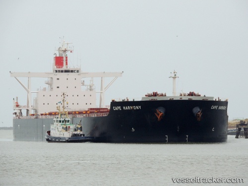
The current position of vessel Cape Harmony is -2.39637 lat / -44.26663 lng. Updated: 2025-11-23 14:57:45 UTCCurrently sailing under the flag of Panama
Cape Harmony built in 2012 year
Deadweight:
178373 tDetails:
Last coordinates of the vessel:
UTC, -2.40011, -44.27041, course: 49, speed: 0.3UTC, -2.39870, -44.27029, course: 99, speed: 0.1
UTC, -2.39615, -44.26720, course: 185, speed: 0.2
2025-11-23 14:57:45 UTC, -2.39637, -44.26663, course: 201, speed: 0.1