 vesseltracker.com
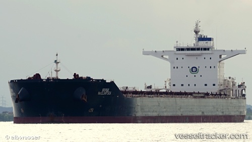
Vessel Navios Ray IMO: 9456692, MMSI: 373325000 Bulk Carrier
UTC, 38.91638, 118.48932, course: 111, speed: 0
UTC, 38.91640, 118.48929, course: 111, speed: 0
2026-02-03 08:22:22 UTC, 38.79879, 118.70990, course: 97, speed: 13.1
Live AIS position:
UTC. 12 nm SE of Caofeidian Pt),
updated 2026-02-03 08:22:22 UTC.
Find the position of the vessel Navios Ray on the map. The latter are known coordinates and path.
marine traffic ship tracker show on live map
The current position of vessel Navios Ray is 38.79879 lat / 118.70990 lng. Updated: 2026-02-03 08:22:22 UTCDetails:
Last coordinates of the vessel:
UTC, 38.91640, 118.48931, course: 111, speed: 0UTC, 38.91638, 118.48932, course: 111, speed: 0
UTC, 38.91640, 118.48929, course: 111, speed: 0
2026-02-03 08:22:22 UTC, 38.79879, 118.70990, course: 97, speed: 13.1