vessel CENTURIES IMO: 9206310, Crude Oil Tanker vesseltracker.com
Vessel CENTURIES IMO: 9206310, Crude Oil Tanker
MMSI: 373731000 callsign: H9ZL size: 58x333

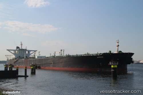
Find the position of the vessel CENTURIES on the map. The latter are known coordinates and path.

marine traffic ship tracker show on live map

The current position of vessel CENTURIES is 1.29130 lat / 104.07210 lng. Updated: 2025-10-19 16:21:55 UTC

Currently sailing under the flag of Panama

CENTURIES built in 2001 year

Deadweight:
309460 t

Details:


Last coordinates of the vessel:
UTC, 1.29102, 104.06661, course: 92, speed: 0
UTC, 1.29366, 104.06824, course: 160, speed: 0.4
UTC, 1.29166, 104.07198, course: 259, speed: 0.2
2025-10-19 16:21:55 UTC, 1.29130, 104.07210, course: 268, speed: 0

Track of the vessel in the last 14 days


The ship also appears on the maps:


Most frequent ports a vessels calls at CENTURIES (373731000):

Willemstad, traffic: 3
ZHOUSHAN, traffic: 3
Oranjestad, traffic: 2
Selat Sunda, traffic: 1
PENGERANG, traffic: 1
YANGSHAN, traffic: 1
MERAK, traffic: 1
SURALAYA, traffic: 1
TANAH MERAH, traffic: 1

Link to the map:


Find another ship

CENTURIES (373731000) last ports (portcalls and passsages)

Willemstad | 2025-07-31 12:19:05
TANAH MERAH | 2025-04-11 09:44:44
PENGERANG | 2025-04-11 08:08:27
YANGSHAN | 2025-03-10 03:26:00
ZHOUSHAN | 2025-02-18 15:45:23
ZHOUSHAN | 2025-02-10 05:04:39
ZHOUSHAN | 2025-02-03 05:21:21
SURALAYA | 2025-01-14 09:09:24
Selat Sunda | 2025-01-14 07:10:53
Willemstad | 2024-11-26 11:48:03
Willemstad | 2024-11-15 17:07:10
Oranjestad | 2024-11-01 23:59:55
Oranjestad | 2024-10-28 23:39:13