 vesseltracker.com
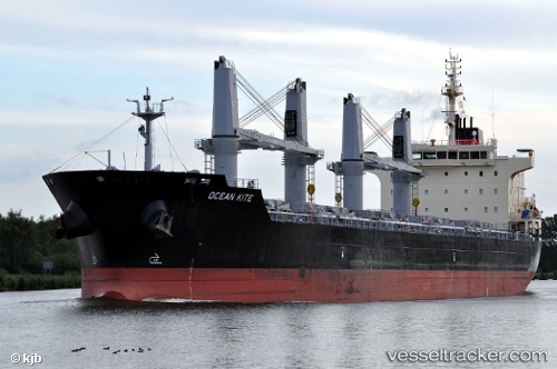
Vessel New Commander IMO: 9610652, MMSI: 373746000 Bulk Carrier
UTC, 13.56333, -89.90667, course: -1, speed: 0
UTC, 13.56417, -89.90570, course: 139, speed: 0.3
2026-02-03 06:36:57 UTC, 13.56423, -89.90524, course: 158, speed: 0.4
Live AIS position:
UTC. Near Acajutla),
updated 2026-02-03 06:36:57 UTC.
Find the position of the vessel New Commander on the map. The latter are known coordinates and path.
marine traffic ship tracker show on live map
The current position of vessel New Commander is 13.56423 lat / -89.90524 lng. Updated: 2026-02-03 06:36:57 UTCCurrently sailing under the flag of Panama
New Commander built in 2012 year
Deadweight:
37187 tDetails:
Last coordinates of the vessel:
UTC, 13.56242, -89.90682, course: 65, speed: 0.3UTC, 13.56333, -89.90667, course: -1, speed: 0
UTC, 13.56417, -89.90570, course: 139, speed: 0.3
2026-02-03 06:36:57 UTC, 13.56423, -89.90524, course: 158, speed: 0.4