 vesseltracker.com
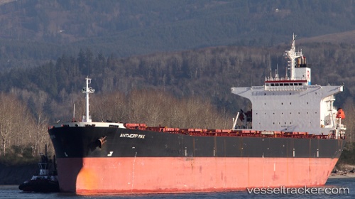
Vessel Navalis IMO: 9164627, MMSI: 374228000 Bulk Carrier
UTC, 29.03680, 48.22562, course: 284, speed: 0
UTC, 29.03968, 48.22314, course: 156, speed: 0
2026-01-27 23:31:38 UTC, 29.03968, 48.22315, course: 156, speed: 0
Live AIS position:
UTC. Near Mina Abd Allah),
updated 2026-01-27 23:31:38 UTC.
Find the position of the vessel Navalis on the map. The latter are known coordinates and path.
marine traffic ship tracker show on live map
The current position of vessel Navalis is 29.03968 lat / 48.22315 lng. Updated: 2026-01-27 23:31:38 UTCCurrently sailing under the flag of Panama
Navalis built in 1998 year
Deadweight:
73144 tDetails:
Last coordinates of the vessel:
UTC, 29.03663, 48.22597, course: 292, speed: 0UTC, 29.03680, 48.22562, course: 284, speed: 0
UTC, 29.03968, 48.22314, course: 156, speed: 0
2026-01-27 23:31:38 UTC, 29.03968, 48.22315, course: 156, speed: 0