 vesseltracker.com
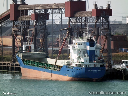
Vessel SNOW IMO: 9100164, MMSI: 374321000 General Cargo Ship
UTC, 32.81376, 35.02614, course: 135, speed: 0
UTC, 32.81376, 35.02613, course: 134, speed: 0
2026-02-28 05:44:36 UTC, 32.81375, 35.02612, course: 134, speed: 0
Live AIS position:
UTC. Near Haifa),
updated 2026-02-28 05:44:36 UTC.
Find the position of the vessel SNOW on the map. The latter are known coordinates and path.
marine traffic ship tracker show on live map
The current position of vessel SNOW is 32.81375 lat / 35.02612 lng. Updated: 2026-02-28 05:44:36 UTCCurrently sailing under the flag of Panama
SNOW built in 1994 year
Deadweight:
4653 tDetails:
Last coordinates of the vessel:
UTC, 32.81375, 35.02614, course: 135, speed: 0UTC, 32.81376, 35.02614, course: 135, speed: 0
UTC, 32.81376, 35.02613, course: 134, speed: 0
2026-02-28 05:44:36 UTC, 32.81375, 35.02612, course: 134, speed: 0