 vesseltracker.com
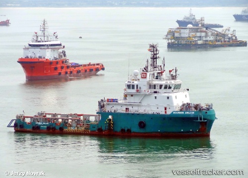
Vessel Glomar Supporter IMO: 9394301, MMSI: 374689000 Offshore Tug Supply Ship
UTC, 53.18917, 5.42927, course: -1, speed: 0
UTC, 53.18919, 5.42928, course: -1, speed: 0
2026-01-14 03:29:07 UTC, 53.18922, 5.42939, course: -1, speed: 0.1
Live AIS position:
UTC. Near HARLINGEN),
updated 2026-01-14 03:29:07 UTC.
Find the position of the vessel Glomar Supporter on the map. The latter are known coordinates and path.
marine traffic ship tracker show on live map
The current position of vessel Glomar Supporter is 53.18922 lat / 5.42939 lng. Updated: 2026-01-14 03:29:07 UTCCurrently sailing under the flag of Panama
Details:
Last coordinates of the vessel:
UTC, 53.18916, 5.42934, course: -1, speed: 0UTC, 53.18917, 5.42927, course: -1, speed: 0
UTC, 53.18919, 5.42928, course: -1, speed: 0
2026-01-14 03:29:07 UTC, 53.18922, 5.42939, course: -1, speed: 0.1