 vesseltracker.com
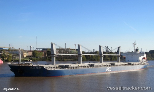
Vessel Kamenari IMO: 9400942, MMSI: 375778000 General Cargo Ship
UTC, 39.64167, 18.62500, course: -1, speed: 12
UTC, 40.08563, 18.72076, course: 4, speed: 11.3
2026-02-08 12:28:21 UTC, 40.48573, 18.51303, course: 324, speed: 11.5
Live AIS position:
UTC. 12 nm NE of San Cataldo),
updated 2026-02-08 12:28:21 UTC.
Find the position of the vessel Kamenari on the map. The latter are known coordinates and path.
marine traffic ship tracker show on live map
The current position of vessel Kamenari is 40.48573 lat / 18.51303 lng. Updated: 2026-02-08 12:28:21 UTCCurrently sailing under the flag of St Vincent Grenadines
Kamenari built in 2010 year
Deadweight:
32326 tDetails:
Last coordinates of the vessel:
UTC, 39.23667, 18.22500, course: -1, speed: 12UTC, 39.64167, 18.62500, course: -1, speed: 12
UTC, 40.08563, 18.72076, course: 4, speed: 11.3
2026-02-08 12:28:21 UTC, 40.48573, 18.51303, course: 324, speed: 11.5