 vesseltracker.com
Live AIS position:
51.21664° N, 2.98138° E UTC. Near Zandvoorde),
updated 2025-11-20 06:28:15 UTC.
Find the position of the vessel Waterway on the map. The latter are known coordinates and path.
marine traffic ship tracker show on live map
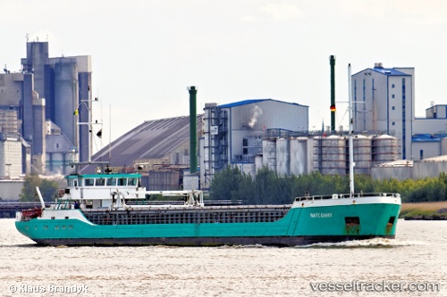
The current position of vessel Waterway is 51.21664 lat / 2.98138 lng. Updated: 2025-11-20 06:28:15 UTCCurrently sailing under the flag of St Vincent Grenadines
Waterway built in 1996 year
Deadweight:
1454 tDetails:
Last coordinates of the vessel:
UTC, 51.21666, 2.98142, course: 165, speed: 0UTC, 51.21669, 2.98137, course: 164, speed: 0
UTC, 51.21666, 2.98142, course: 165, speed: 0
2025-11-20 06:28:15 UTC, 51.21664, 2.98138, course: 165, speed: 0