 vesseltracker.com
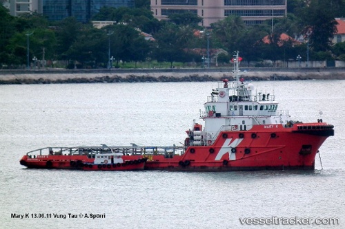
Vessel Allianz Ranger IMO: 9408891, MMSI: 377424000 Offshore Tug Supply Ship
UTC, 24.33299, 54.45432, course: -1, speed: 0
UTC, 24.33303, 54.45426, course: -1, speed: 0
2026-02-03 11:55:30 UTC, 24.33302, 54.45432, course: -1, speed: 0
Live AIS position:
UTC. Near Esnnad),
updated 2026-02-03 11:55:30 UTC.
Find the position of the vessel Allianz Ranger on the map. The latter are known coordinates and path.
marine traffic ship tracker show on live map
The current position of vessel Allianz Ranger is 24.33302 lat / 54.45432 lng. Updated: 2026-02-03 11:55:30 UTCDetails:
Last coordinates of the vessel:
UTC, 24.33303, 54.45426, course: -1, speed: 0UTC, 24.33299, 54.45432, course: -1, speed: 0
UTC, 24.33303, 54.45426, course: -1, speed: 0
2026-02-03 11:55:30 UTC, 24.33302, 54.45432, course: -1, speed: 0